
Hathersage – 19 July 2026
Weather forecast
The current forecast for Hathersage on Sunday 19 July is for a mainly dry day with sunny intervals. Temperatures are expected to be around 10°C in the morning, rising to approximately 15–16°C during the afternoon. Conditions may feel cooler and more exposed along Stanage Edge and on higher ground.
Please check the latest forecast before travelling and bring suitable clothing for changing conditions.
Walk Information
Distances, ascent, timings and terrain descriptions are provided as a guide. All walks are subject to prevailing weather and ground conditions, and the walk leader may amend the route or itinerary where necessary in the interests of safety.
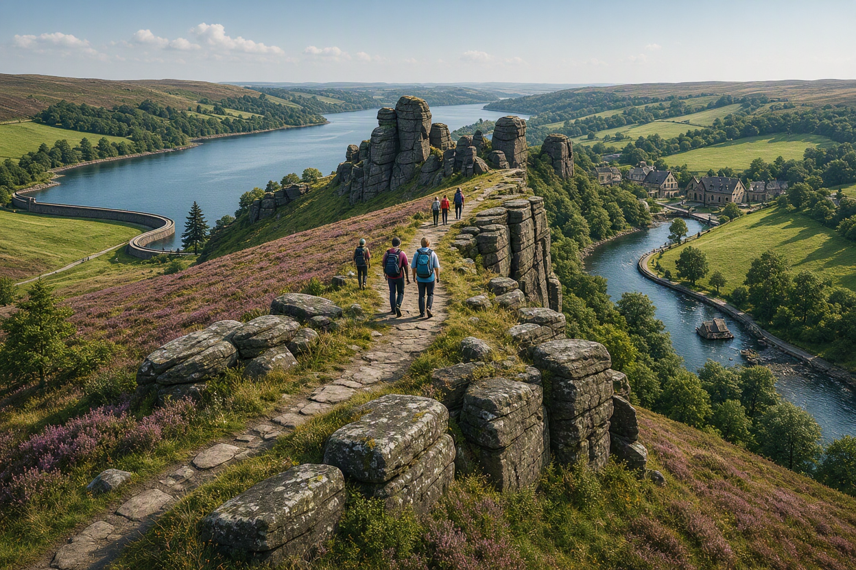
Sunday A Walk
Leader: Steve Cook
This is a linear walk starting at Heatherdene, Ladybower Reservoir. We head north-east to Moscar Cross before turning south to join the Sheffield Country Walk. On reaching High Neb (1,502 ft), we continue along the gritstone escarpment of Stanage Edge to Upper Burbage Bridge. Passing Higger Tor and Hathersage Moor, we finish in the village of Hathersage.
Distance: Approximately 11.5 miles
Total ascent: Approximately 1,800 ft
Terrain: Moorland paths, gritstone edge paths, tracks and field paths. Uneven and rocky in places.
Estimated time: Approximately 6–7 hours
Features: Linear walk. Long sustained ascent. Rocky sections along Stanage Edge.
Sunday B Walk
Leader: Nigel Lingings
Starting from the centre of Hathersage, we head north, gently climbing for around two miles to Stanage Edge. We then turn north-west and follow the ridge to High Neb before retracing our steps towards the Long Causeway, where we join the Sheffield Country Walk. We continue south-east to Higger Tor before returning to Hathersage.
Distance: Approximately 9 miles
Total ascent: Approximately 1,200 ft
Terrain: Moorland paths, gritstone edge paths, tracks and woodland paths. Uneven and rocky in places.
Estimated time: Approximately 5–5½ hours
Features: Out-and-back section along Stanage Edge. Rocky terrain.
GPX file available from Nigel via Facebook.
Sunday C Walk
Leader: Tony Breeze
Starting from Heatherdene at Ladybower Reservoir, we cross Ladybower Dam and join the Derwent Valley Heritage Way towards Shatton. After crossing the Hope Valley road, we follow the River Derwent south through the valley to the southern edge of Hathersage. Leaving the riverside near Kettle House and Greenwood Farm, we return to Hathersage via quiet lanes, grassland and woodland.
Distance: Approximately 8 miles
Total ascent: Approximately 800 ft
Terrain: Riverside paths, woodland paths, grassland and quiet lanes. Generally good underfoot with some uneven ground.
Estimated time: Approximately 4½–5 hours
Features: Ladybower Dam, River Derwent, Derwent Valley Heritage Way. Some road crossings.
To book a place or see booking instructions, check out our How to Book page.